Where We Row
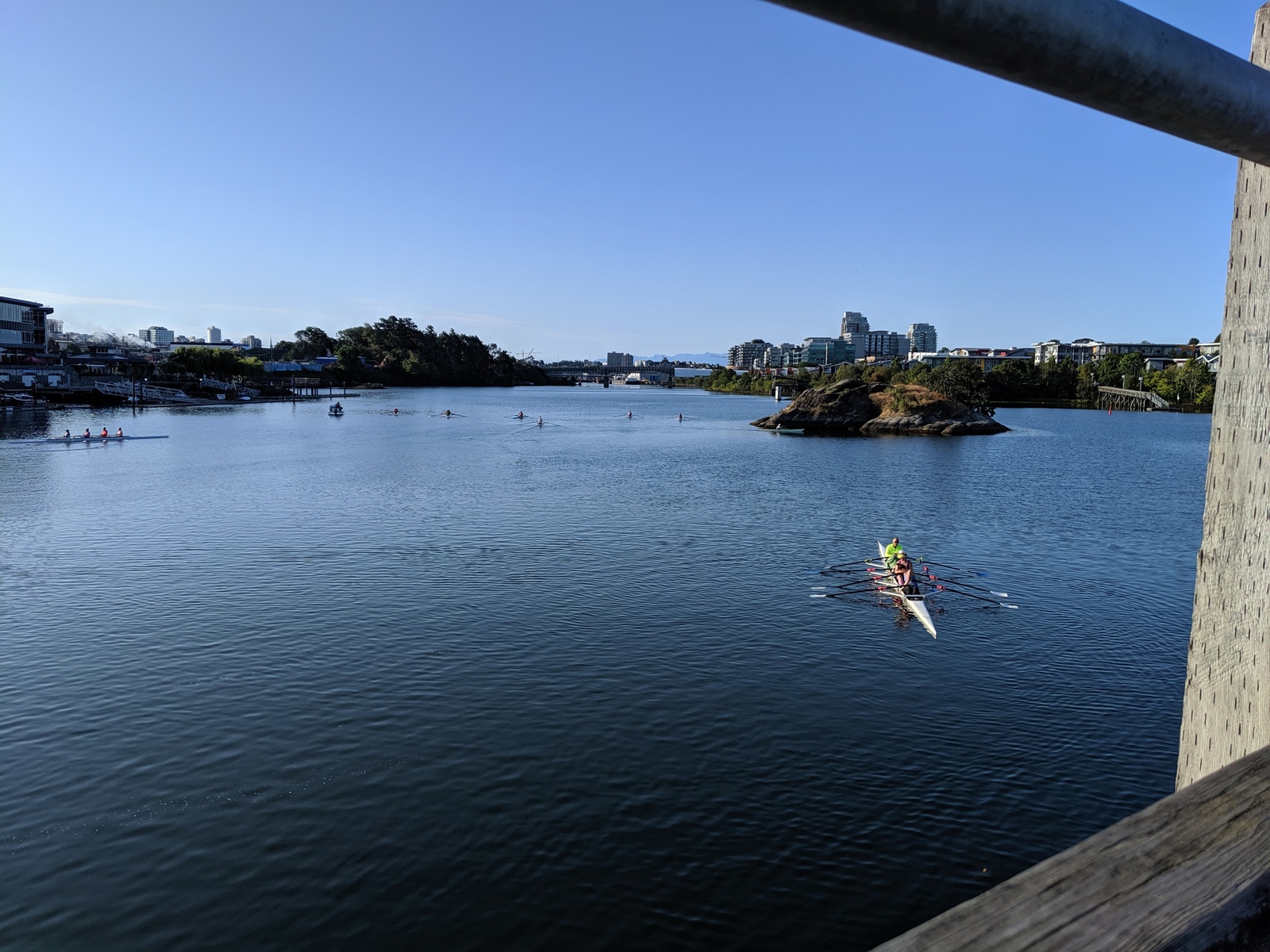
One of the pleasures of being here (see map) is the incredible range of landscapes that we have the privilege to row through. One row can encompass parks and lush landscapes, converted rail lines, active shipyards, and the lights of Victoria, the capital of British Columbia. Here are some highlights.
Halkett Island
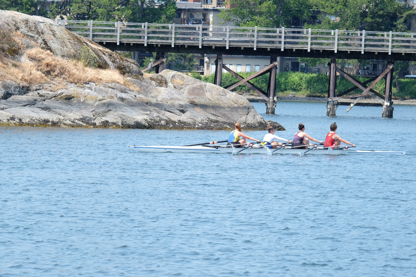
Just in front of the club dock is Halkett Island, which is an ancient burial site of the Songhees Nation. It was in active use into the 19th century.
Part of the island's history is given on a plaque placed on the shore near the island by the City of Victoria. The Lək̓ʷəŋən stopped using the island for burials in 1867 after a fire, set by three Victoria boys, got out of control and burned off the island.
The island was taken away from the Songhees in 1924 by a Federal Indian Reserve Commission. It was declared an archaeological site in 1964, and, finally, restored to the Lək̓ʷəŋən people and the Songhees Nation in 1993 by court order.
Grant Keddie, a former Curator of Archeology at the Royal British Columbia Museum, has a fine article on the island's history.
The Selkirk Trestle
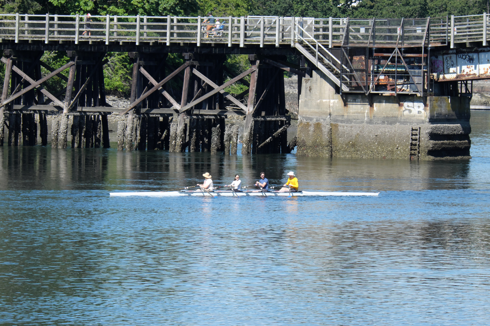
The Selkirk Trestle was built by the Canadian National Railway in 1903. Today, it is part of the Galloping Goose Regional Trail, which runs for 55 km from the City of Victoria to Sooke on the west coast of Vancouver Island.
The trail is a key component of the City of Victoria's cycling network, and links to the cycling networks in Sannich, Esquimalt, and the broader region.
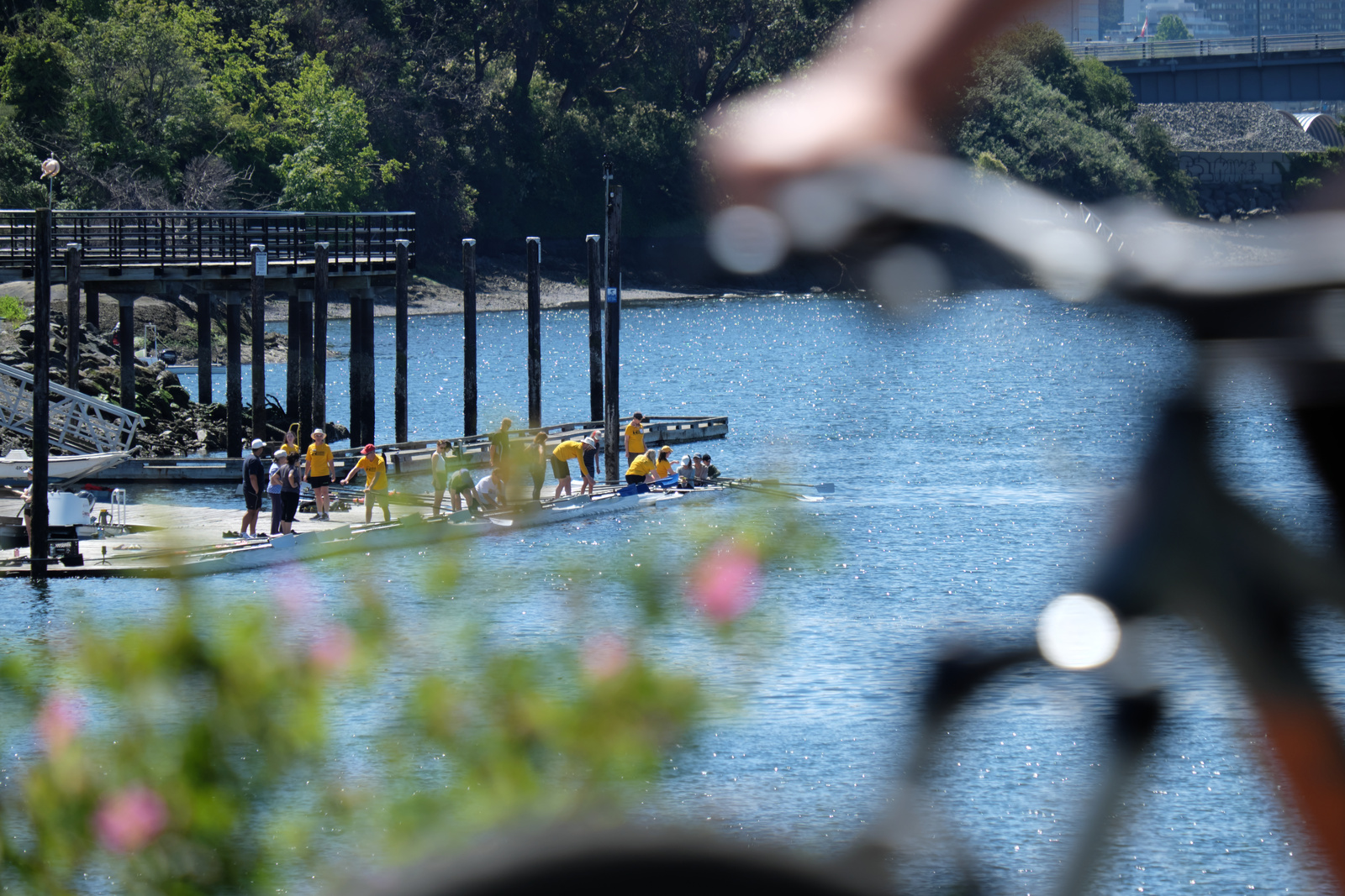
Since the trail runs right past our dock, it's a great way for people of all ages to safely and easily ride to the club. which has access to plenty of free bike parking.
The Shipyard
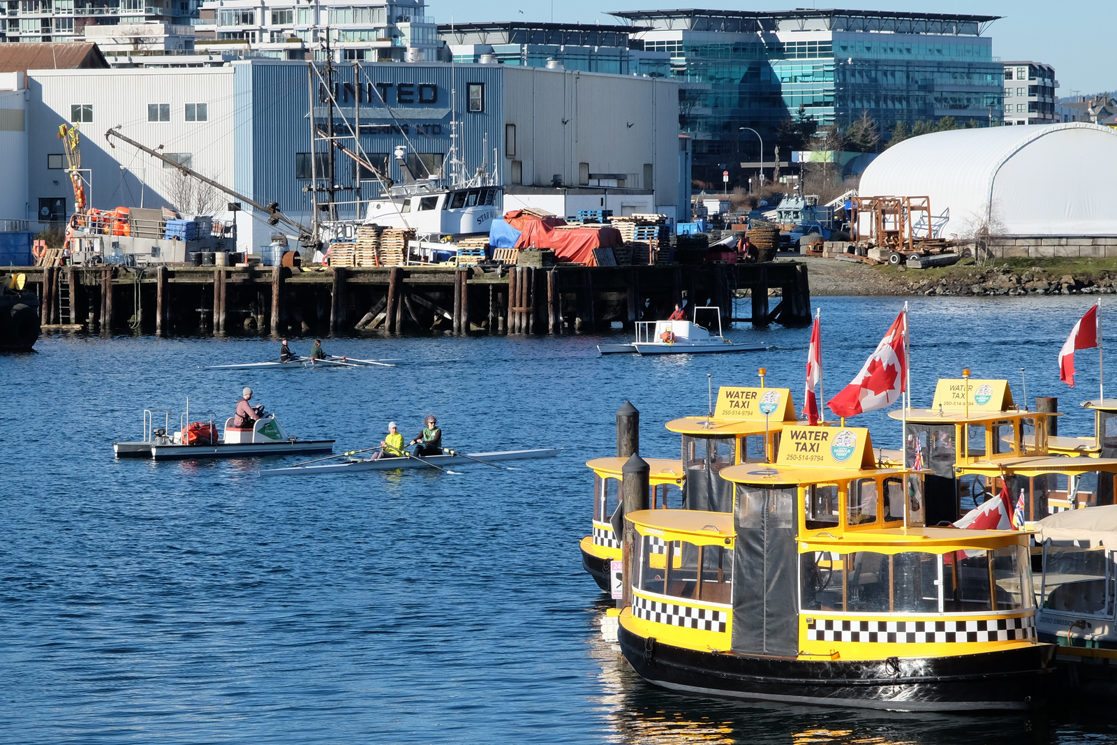
Point Hope Maritime's full-service shipyard is located in the Inner Harbour. The shipyard has been repairing and refitting commercial and private vessels since 1873.
Also, you can use the POINT HOPE SHIPYARD sign, which is visible through the pilings of the Point Ellice Bridge, as a visual guide when approaching the GNRC dock!
Johnson Street Bridge
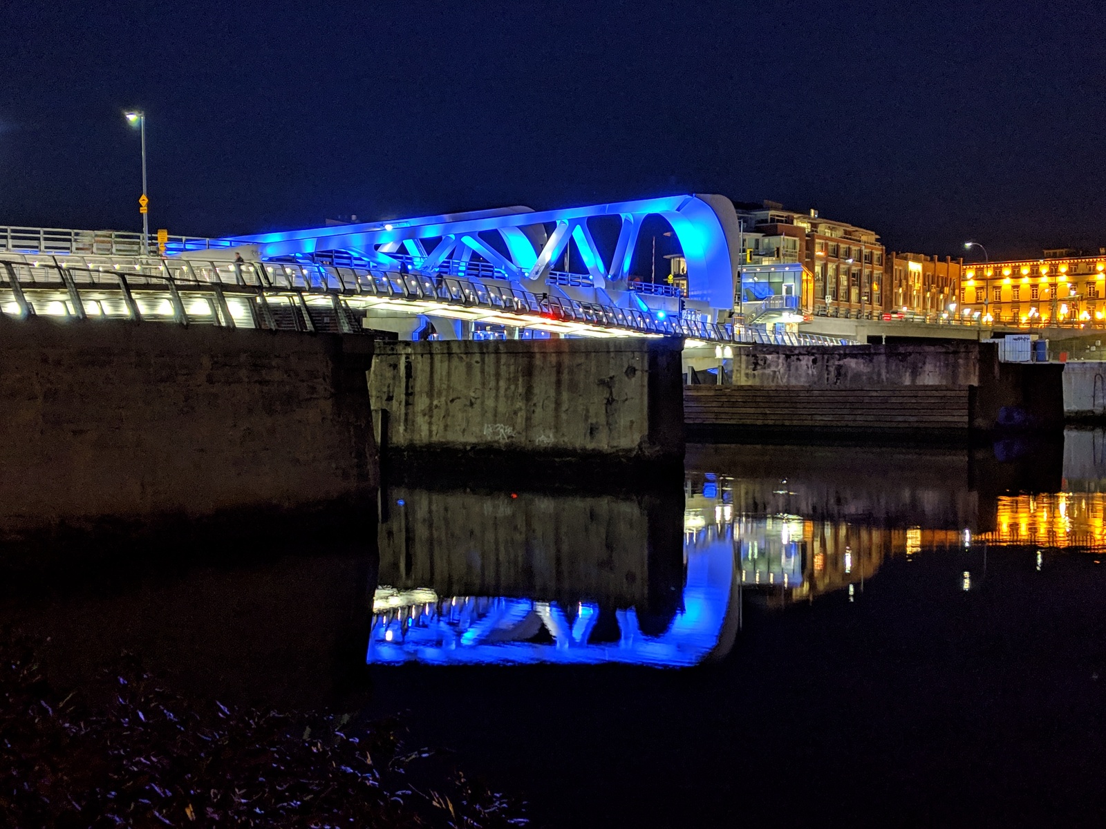
The Johnson Street Bridge is the fourth bridge to span the Gorge Waterway into downtown Victoria. The Victoria Bridge was built for wagons in 1855. Unfortunately, it blocked boat access to the Inner Harbour and was replaced just seven years later, in 1862, by a ferry service.
The ferry service lasted until 1888, when the Esquimalt & Nanaimo Railway (E&N) built a swing bridge. The swing bridge served for 35 years, but was limited to people walking and trains. It was replaced in 1923 by the first Johnson Street Bridge, a drawbridge.
For it's first fifty-five years the Johnson Street Bridge was actually painted black! It was repainted in 1979 after a significant repair, and so the "Blue Bridge" was born.
The current Johnson Street Bridge went into service in 2018. While the bridge is actually grey, it is lit a spectacular blue at night!
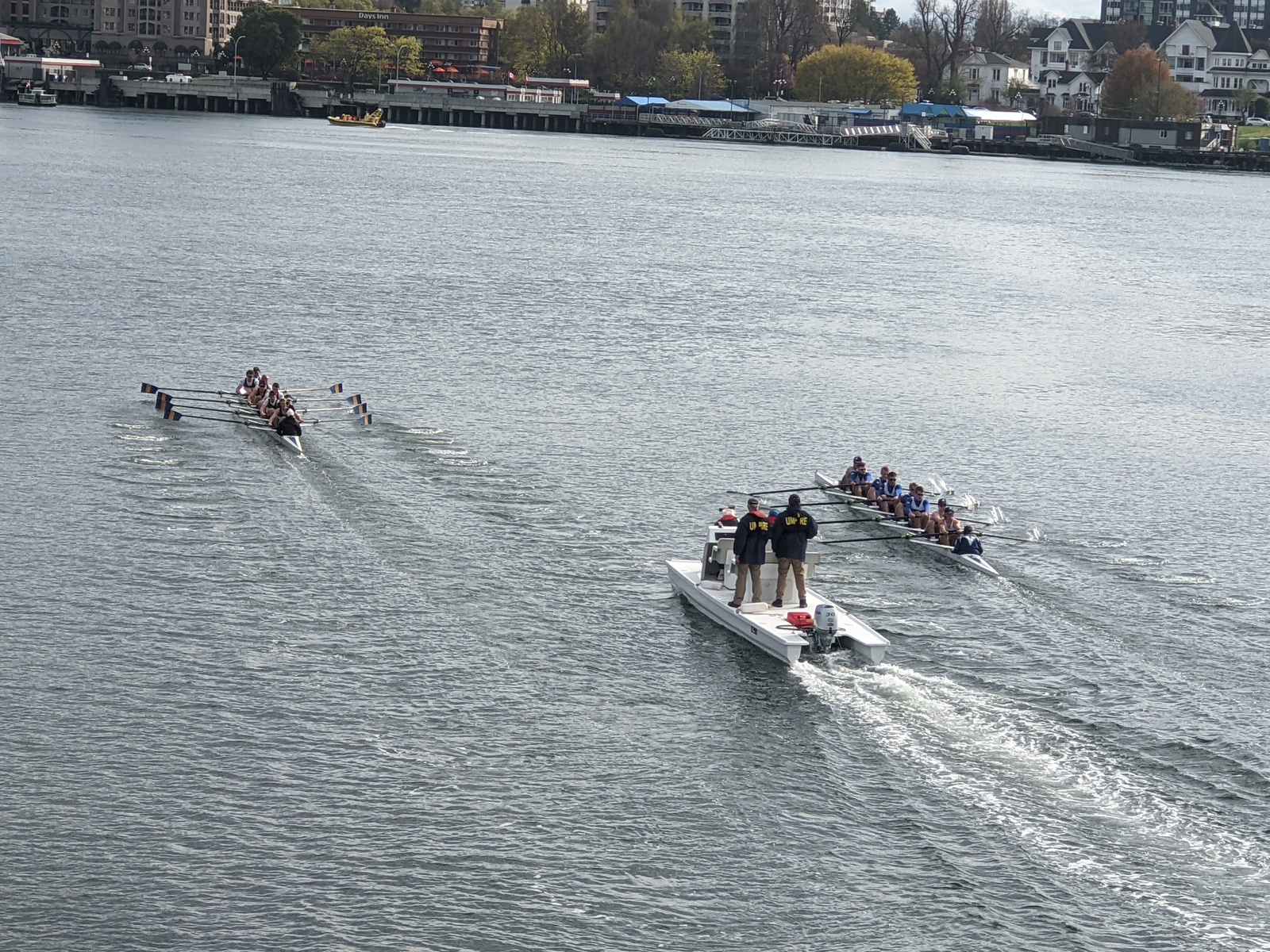
The pedestrian pathways on both sides of the new bridge are great places to watch the Brown Cup!
